Project Overview
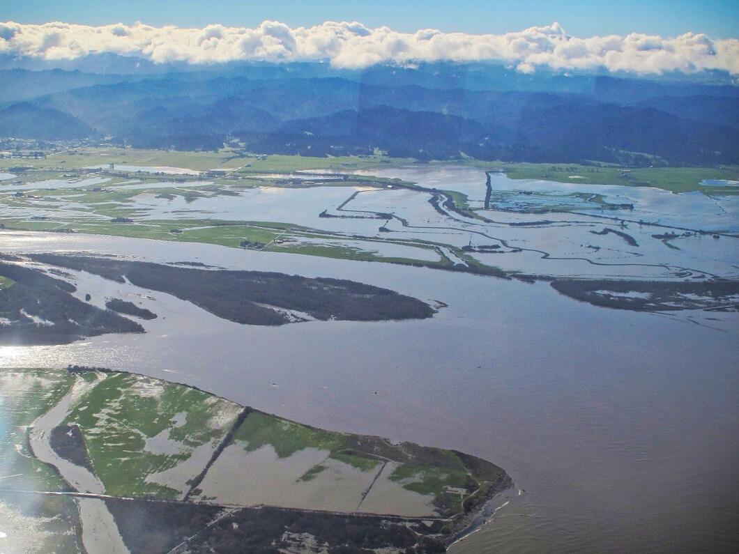
The Eel River Estuary is California’s third largest estuary and supports a diverse range of fish, wildlife, agricultural operations, and coastal communities. The Humboldt County Resource Conservation District (HCRCD) is leading a collaborative effort with landowners, Tribes, and partner agencies to understand and plan for the impacts of sea level rise in this region.
This project, supported by SB1 funding through the California Ocean Protection Council, focuses on engaging community members through a visioning process and conducting a sea level rise vulnerability assessment to guide future resilience planning in the Eel River Estuary. This project is anticipated to span from 2025-2027.
Project Background
The Eel River Estuary and surrounding agricultural lands are protected by a system of levees and tide gates that are aging and increasingly at risk from sea level rise and flooding. These working lands, wetlands, and nearby communities depend on coordinated action to plan for changing coastal conditions. This project directly supports Humboldt County’s long-term adaptation planning and will help protect coastal ecosystems, agricultural livelihoods, and community infrastructure.
Through this project, HCRCD will:
- Conduct a Community Visioning Process to identify local priorities, values, and adaptation goals
- Develop a Vulnerability Assessment evaluating tidal, fluvial, and groundwater flood risks under future sea level rise scenarios
- Compile and integrate existing data from regional restoration efforts, hydrodynamic models, and shoreline studies to inform planning
- Support equitable engagement of Environmental Justice communities and Tribes, ensuring that local voices inform future adaptation strategies
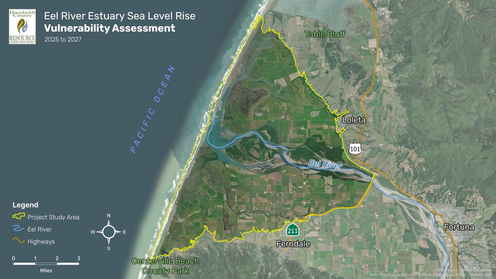
Project Map
PROJECT DOCUMENTS AND RESOURCES
Available Documents:
- Project Fact Sheet (PDF) –Coming Soon
- Meeting Agendas and Summaries-Coming Soon
- Community Visioning Report-Coming Soon
- Flood Inundation and Groundwater Maps-Coming Soon
- Vulnerability Assessment Reports-Coming Soon
Major Milestones:
- Community Outreach – 2025 to 2026
- Data Collection and Modeling – 2025 to 2026
- Final Report – May 2027
Contact Information:
Humboldt County Resource Conservation District (HCRCD)
For more information, contact:
eelsealevelrise@googlegroups.com